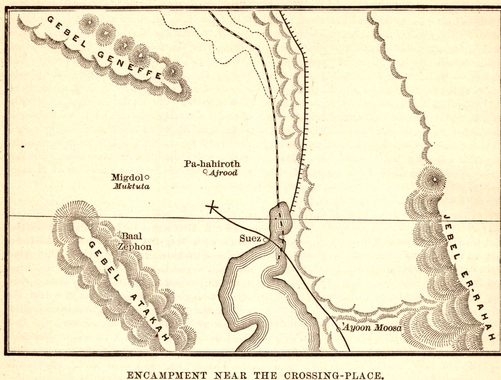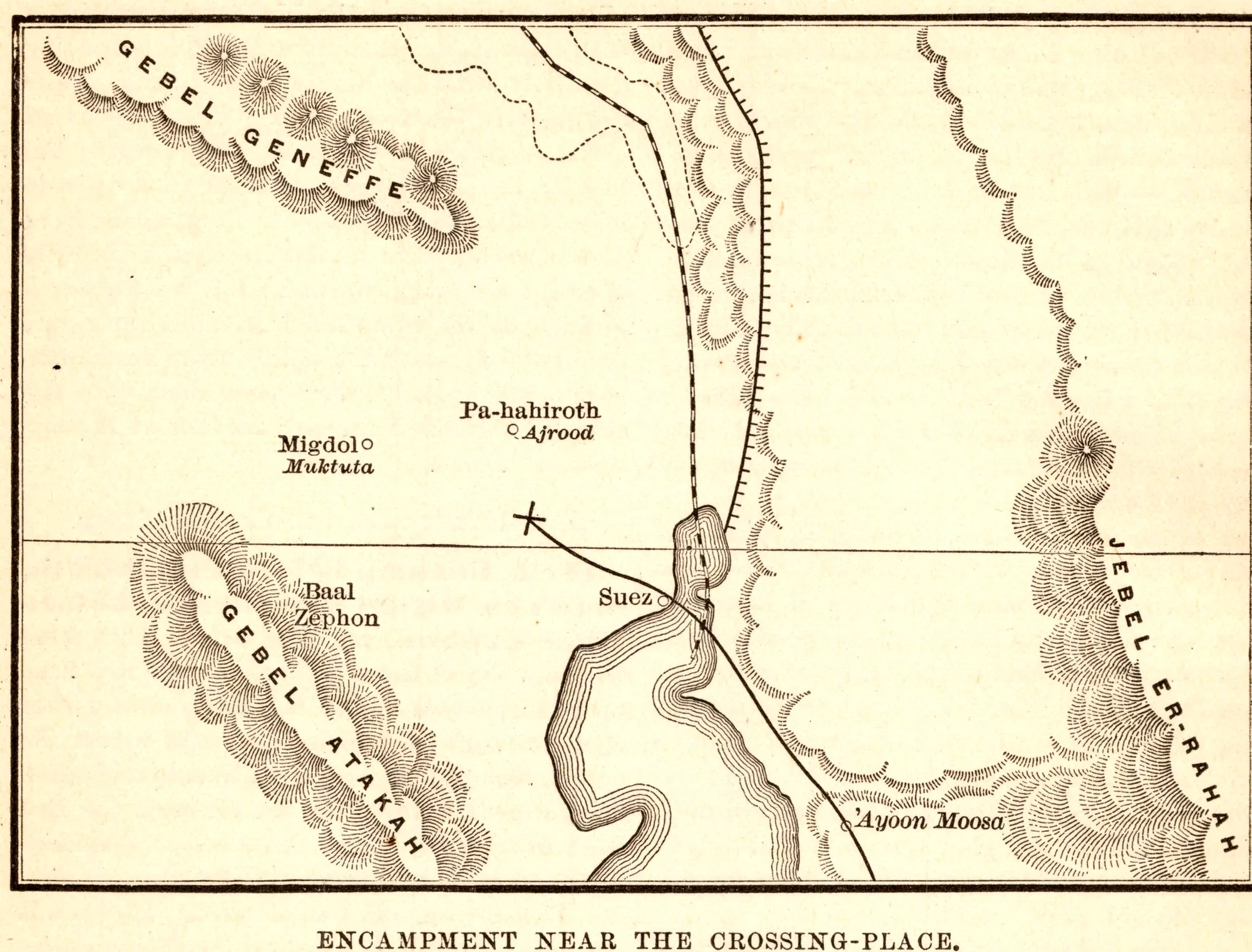
Encampment near the Crossing-Place
- Date
- 1892
- Publication
- The Bible-Work: The Old Testament, Vol. II
- Imprint
- Prepared by J. Glentworth Butler, D.D. · Funk & Wagnalls Company, New York and London, 1892
- Page
- 40
- Black & White
Description
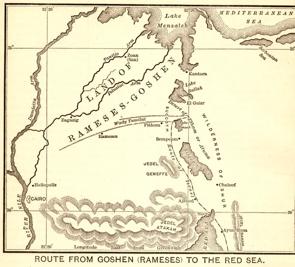
A small map of the head of the Gulf of Suez showing one proposed site for the Israelites’ crossing of the Red Sea, with Pi-hahiroth, Migdol, Baal-zephon, Suez and the springs of Ayoun Mousa (the Wells of Moses) between the ridges of Gebel Geneffe, Gebel Ataka and Gebel er-Rahah.
As printed
Encampment near the Crossing-Place.
Cite this item
“Encampment near the Crossing-Place.” Illustration in The Bible-Work: The Old Testament, Vol. II, Prepared by J. Glentworth Butler, D.D. · Funk & Wagnalls Company, New York and London, 1892. Antique Advertisements, no. P0335. https://antiqueadvertisements.com/from-the-pages/P0335-encampment-near-the-crossing-place-1892/
This item is in the public domain. You are free to use it for any purpose; a credit to Antique Advertisements is appreciated. Learn more about using these images.