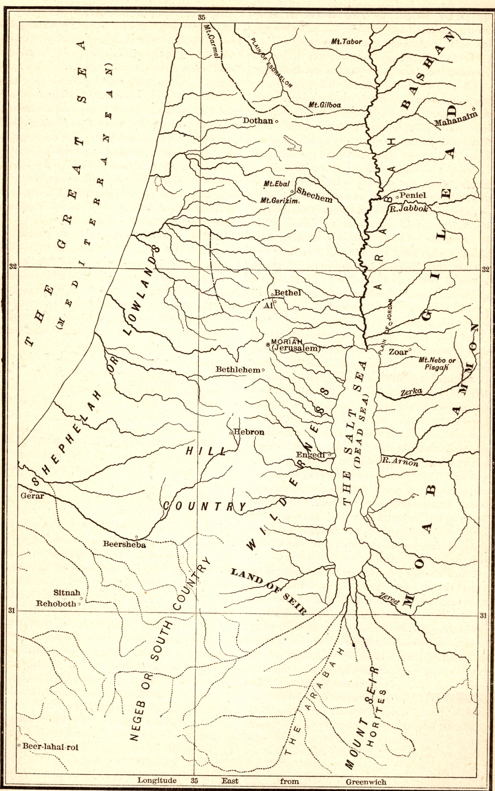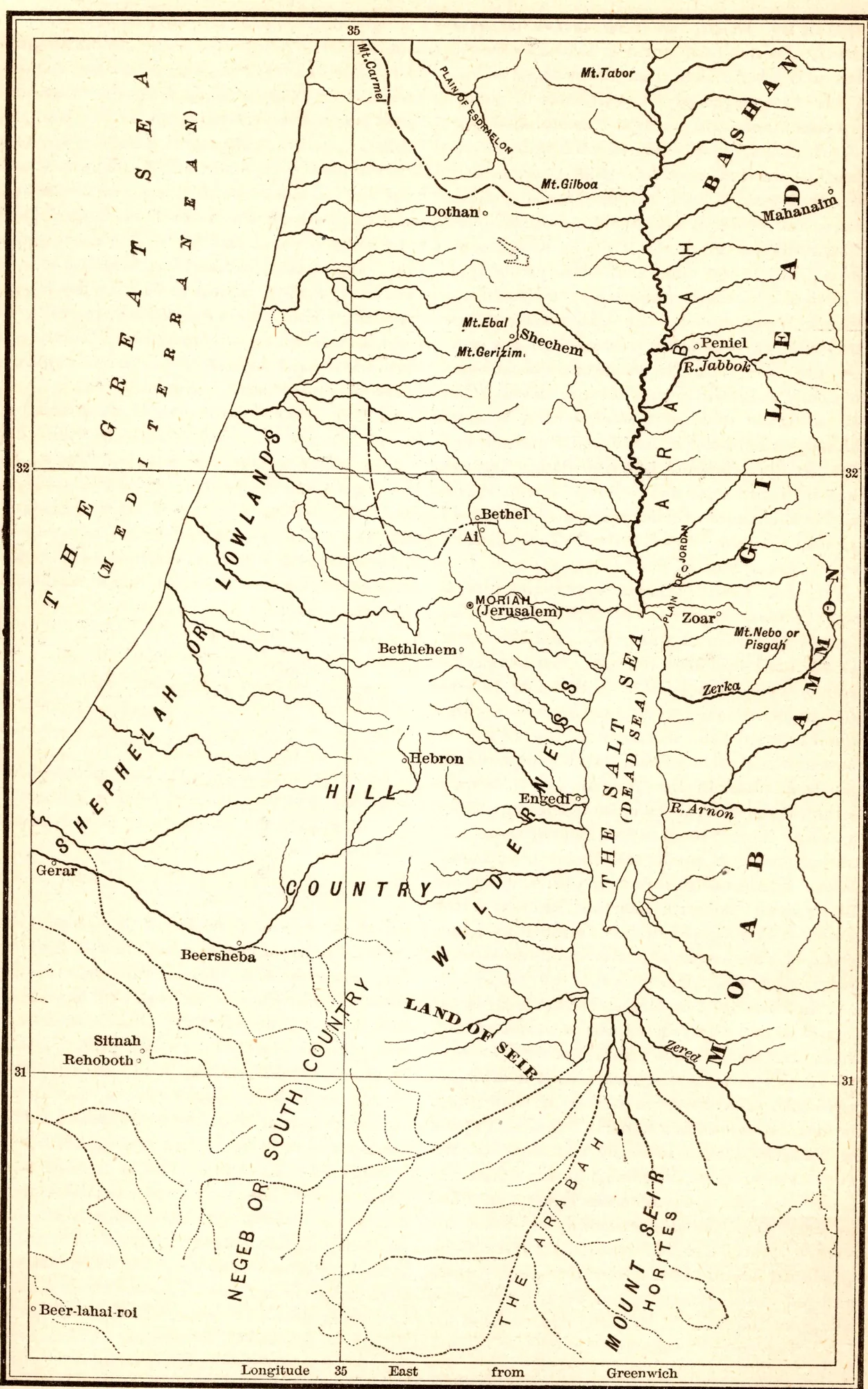
Outline Map of Canaan, for Sections 174 and 175
- Date
- 1892
- Publication
- The Bible-Work: The Old Testament, Vol. II
- Imprint
- Prepared by J. Glentworth Butler, D.D. · Funk & Wagnalls Company, New York and London, 1892
- Page
- 582
- Black & White
Description
An outline map printed for Sections 174 and 175 of the commentary. It shows the land of Canaan from the Mediterranean, labeled The Great Sea, to the lands east of the Jordan, with regions marked as the Lowlands, the Hill Country, the Negeb or South Country, Gilead, Bashan and Moab, and dozens of rivers and streams drawn in fine line.
Cite this item
“Outline Map of Canaan, for Sections 174 and 175.” Illustration in The Bible-Work: The Old Testament, Vol. II, Prepared by J. Glentworth Butler, D.D. · Funk & Wagnalls Company, New York and London, 1892. Antique Advertisements, no. P0319. https://antiqueadvertisements.com/from-the-pages/P0319-outline-map-of-canaan-for-sections-174-and-1892/
This item is in the public domain. You are free to use it for any purpose; a credit to Antique Advertisements is appreciated. Learn more about using these images.