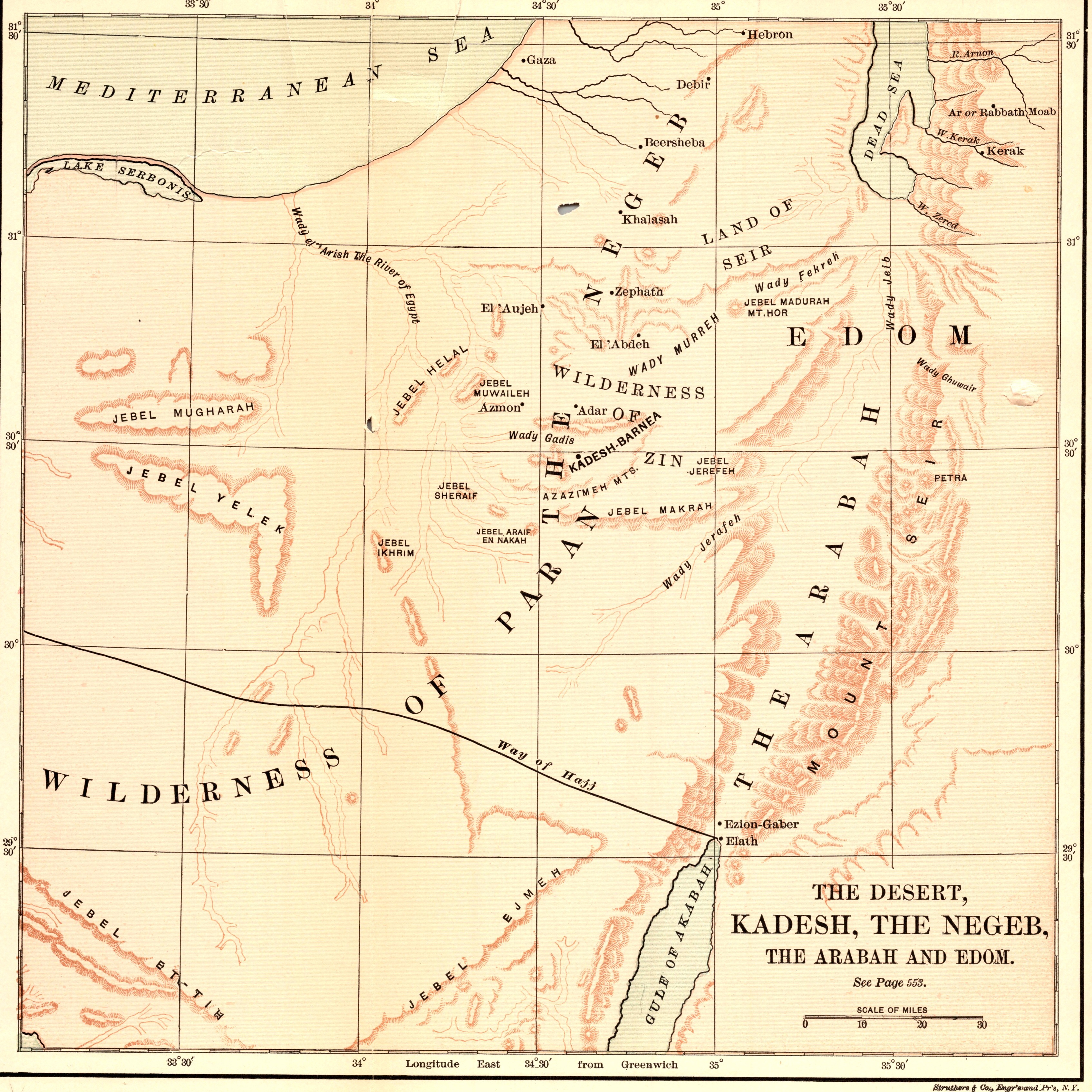
The Desert, Kadesh, the Negeb, the Arabah and Edom
- Date
- 1892
- Publication
- The Bible-Work: The Old Testament, Vol. II
- Imprint
- Prepared by J. Glentworth Butler, D.D. · Funk & Wagnalls Company, New York and London, 1892
- Two-Color
Description
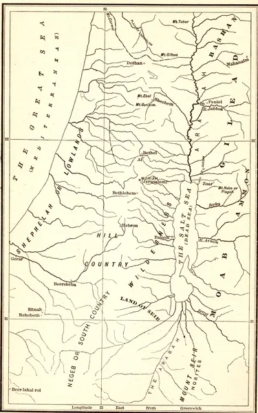
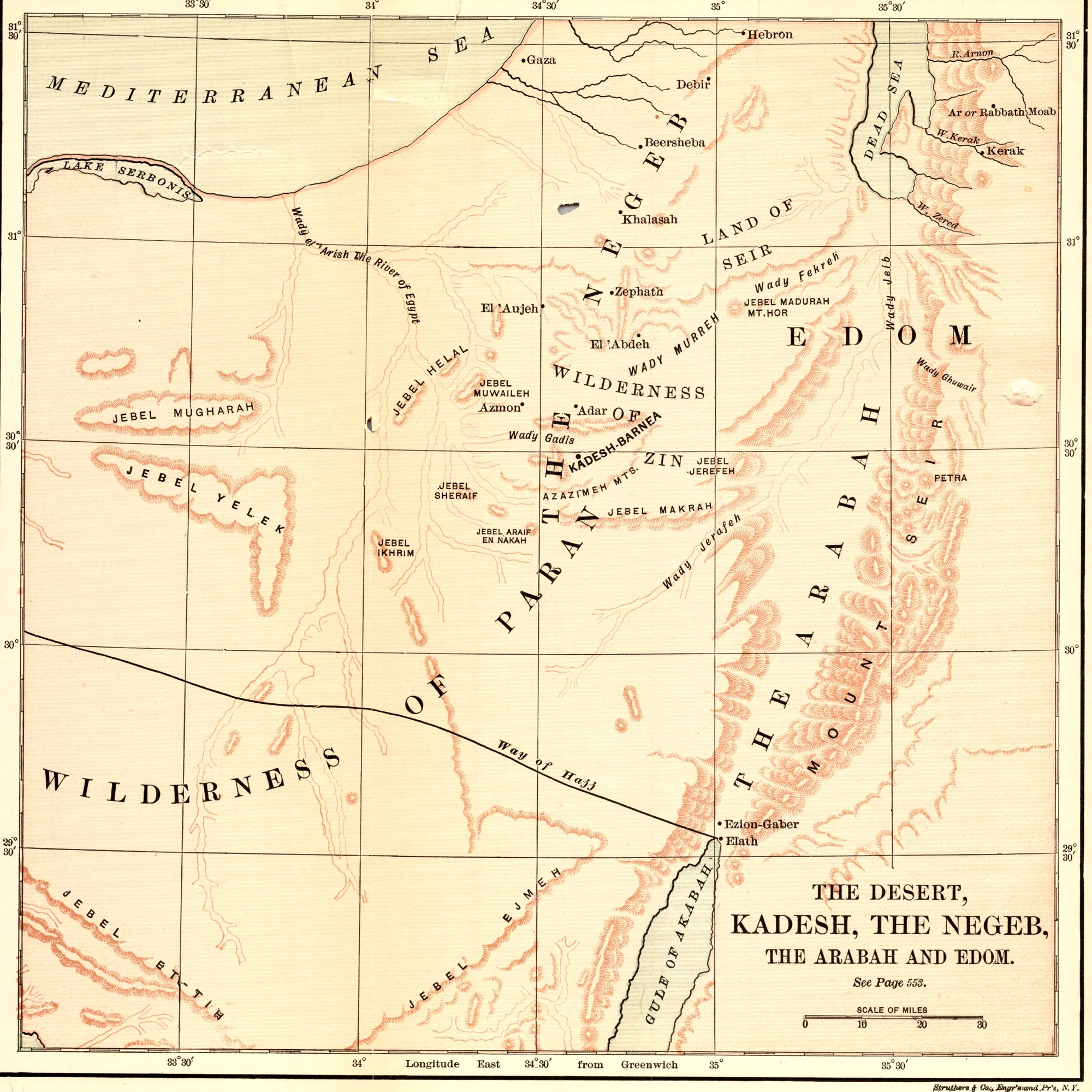
A map printed in red and black of the country south of Canaan where the Israelites spent their years of wandering: the Wilderness of Paran, Kadesh, the Negeb, the Arabah valley running down to the Gulf of Akabah, and the mountains of Edom, with the Mediterranean along the top.
As printed
The Desert, Kadesh, the Negeb, the Arabah and Edom.
Cite this item
“The Desert, Kadesh, the Negeb, the Arabah and Edom.” Illustration in The Bible-Work: The Old Testament, Vol. II, Prepared by J. Glentworth Butler, D.D. · Funk & Wagnalls Company, New York and London, 1892. Antique Advertisements, no. P0336. https://antiqueadvertisements.com/from-the-pages/P0336-the-desert-kadesh-the-negeb-the-arabah-and-1892/
This item is in the public domain. You are free to use it for any purpose; a credit to Antique Advertisements is appreciated. Learn more about using these images.