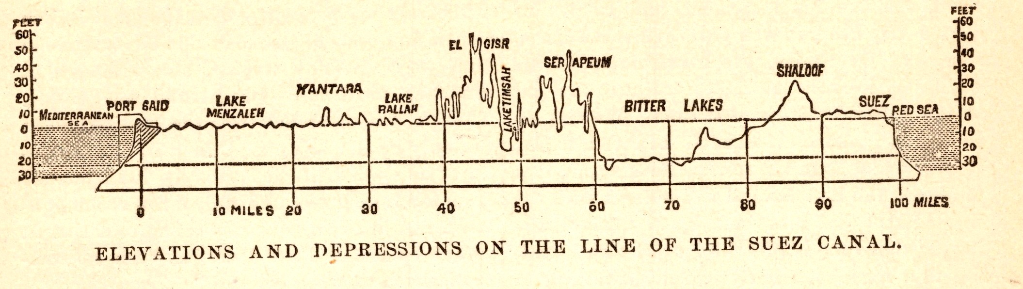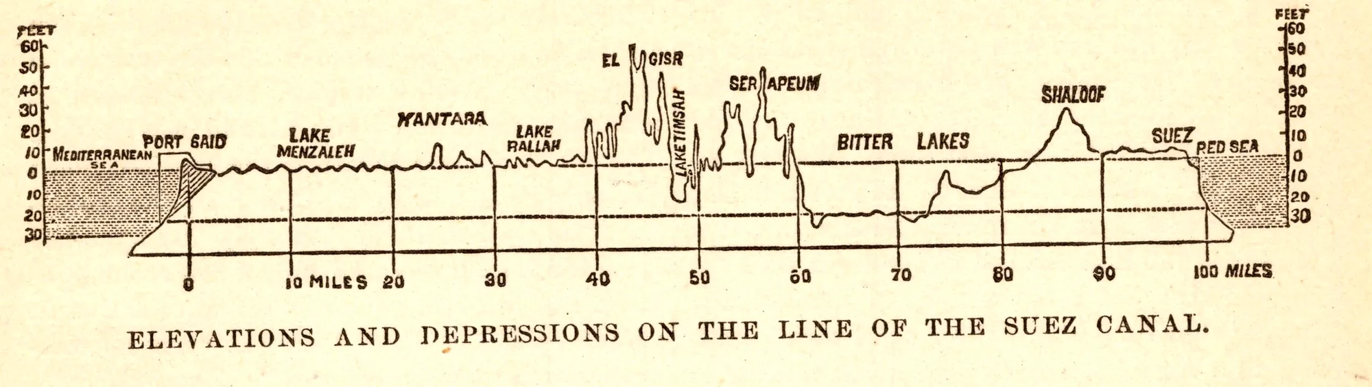
Elevations and Depressions on the Line of the Suez Canal
- Date
- 1892
- Publication
- The Bible-Work: The Old Testament, Vol. II
- Imprint
- Prepared by J. Glentworth Butler, D.D. · Funk & Wagnalls Company, New York and London, 1892
- Page
- 43
- Black & White
Description
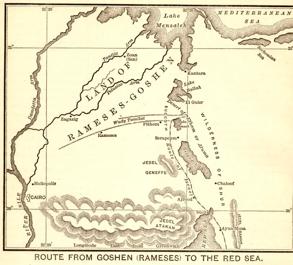
A profile of the ground along the hundred miles of the Suez Canal, from Port Said on the Mediterranean through Lake Menzaleh, Kantara, El Gisr, Lake Timsah, Serapeum and the Bitter Lakes to Shaloof and Suez on the Red Sea. The commentary used it to discuss where the Israelites may have crossed the sea.
As printed
Elevations and Depressions on the Line of the Suez Canal.
Cite this item
“Elevations and Depressions on the Line of the Suez Canal.” Illustration in The Bible-Work: The Old Testament, Vol. II, Prepared by J. Glentworth Butler, D.D. · Funk & Wagnalls Company, New York and London, 1892. Antique Advertisements, no. P0334. https://antiqueadvertisements.com/from-the-pages/P0334-elevations-and-depressions-on-the-line-of-the-1892/
This item is in the public domain. You are free to use it for any purpose; a credit to Antique Advertisements is appreciated. Learn more about using these images.