No. P04071918
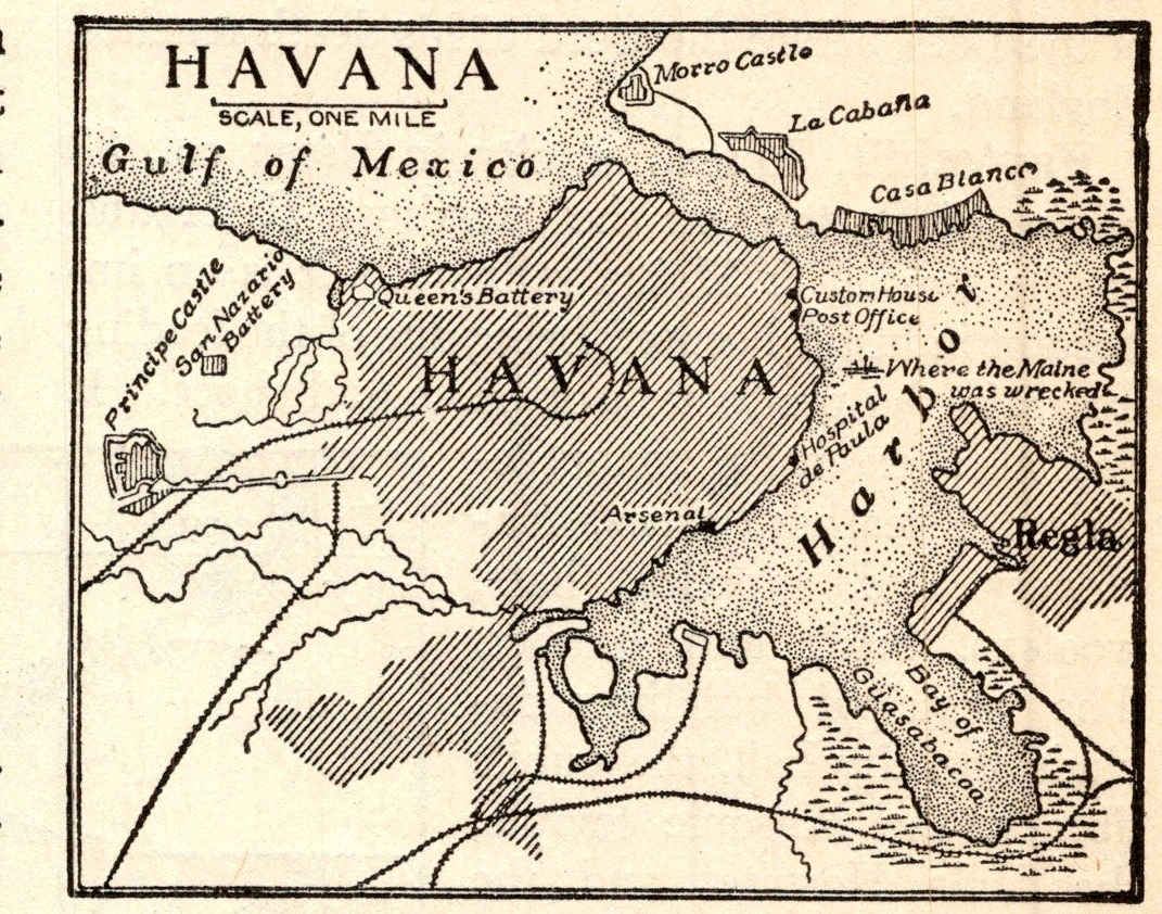
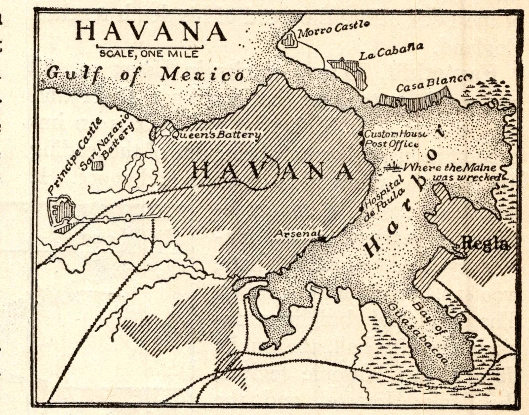
Map of Havana
- Date
- 1918
- Publication
- The New Practical Reference Library, Vol. IV
- Imprint
- Charles H. Sylvester, editor in chief · Creecy-Smith Publishing Company, Kansas City and Dallas, 1918
- Black & White
Description
An uncaptioned map of Havana, Cuba, and its harbor from the entry on the city, showing the narrow harbor mouth, the Gulf of Mexico, and the suburbs of Regla and Casa Blanca across the bay.
Cite this item
“Map of Havana.” Illustration in The New Practical Reference Library, Vol. IV, Charles H. Sylvester, editor in chief · Creecy-Smith Publishing Company, Kansas City and Dallas, 1918. Antique Advertisements, no. P0407. https://antiqueadvertisements.com/from-the-pages/P0407-map-of-havana-1918/
This item is in the public domain. You are free to use it for any purpose; a credit to Antique Advertisements is appreciated. Learn more about using these images.