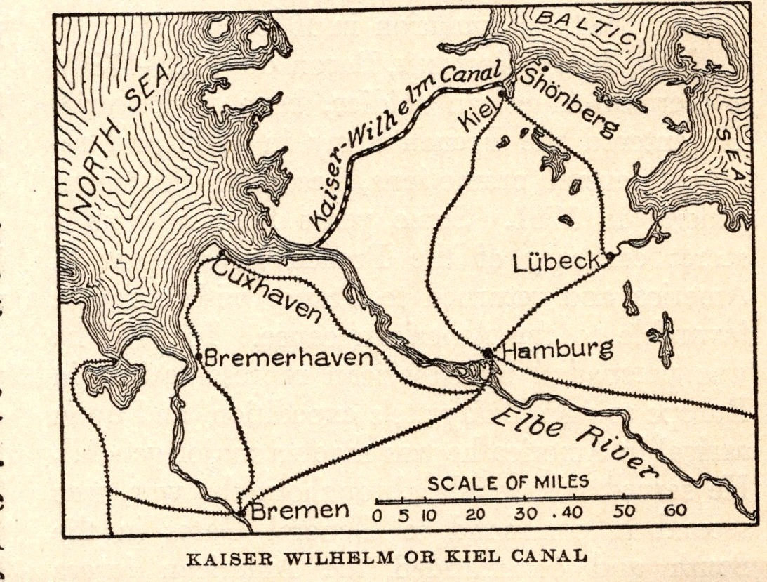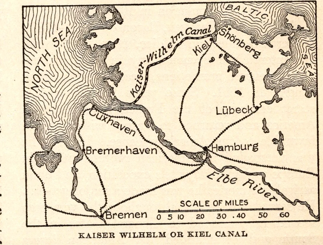
Kaiser Wilhelm or Kiel Canal
- Date
- 1918
- Publication
- The New Practical Reference Library, Vol. IV
- Imprint
- Charles H. Sylvester, editor in chief · Creecy-Smith Publishing Company, Kansas City and Dallas, 1918
- Black & White
Description
A map of the Kaiser Wilhelm, or Kiel, Canal across the base of the Jutland peninsula, linking the North Sea and the Baltic, with Hamburg, Bremen, Bremerhaven, Lübeck and Cuxhaven. The text notes that the canal was 61.3 miles long when completed in 1895.
Historical note
Kaiser Wilhelm II opened the canal in 1895 and named it for his grandfather, Wilhelm I. After the First World War the Treaty of Versailles opened it to international shipping, and in 1948 it was officially renamed the Nord-Ostsee-Kanal (North Sea–Baltic Canal). In English it is known simply as the Kiel Canal.
Sources
- The history of the Kiel Canal, City of Kiel
- Kiel Canal, Encyclopaedia Britannica
As printed
KAISER WILHELM OR KIEL CANAL
Cite this item
“Kaiser Wilhelm or Kiel Canal.” Illustration in The New Practical Reference Library, Vol. IV, Charles H. Sylvester, editor in chief · Creecy-Smith Publishing Company, Kansas City and Dallas, 1918. Antique Advertisements, no. P0542. https://antiqueadvertisements.com/from-the-pages/P0542-kaiser-wilhelm-or-kiel-canal-1918/
This item is in the public domain. You are free to use it for any purpose; a credit to Antique Advertisements is appreciated. Learn more about using these images.