No. P05171918
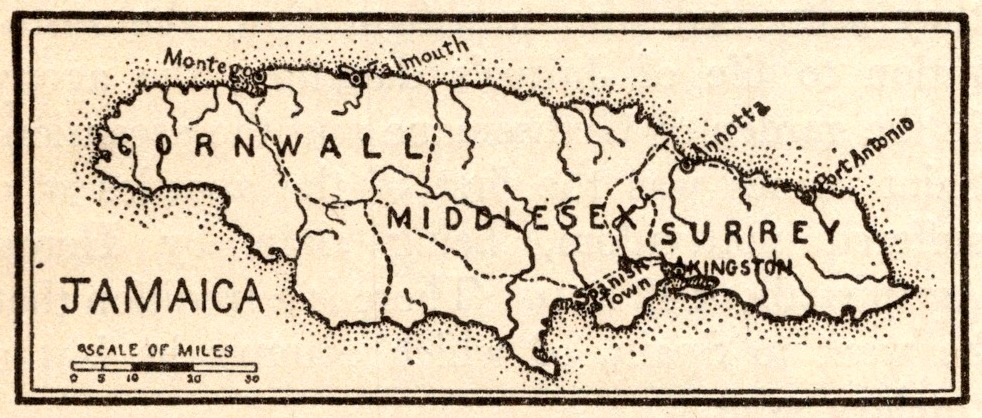
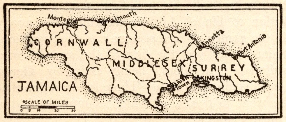
Map of Jamaica
- Date
- 1918
- Publication
- The New Practical Reference Library, Vol. IV
- Imprint
- Charles H. Sylvester, editor in chief · Creecy-Smith Publishing Company, Kansas City and Dallas, 1918
- Black & White
Description
An uncaptioned map of Jamaica from the entry on the island, showing its three counties, Cornwall, Middlesex and Surrey, with a scale of miles.
Cite this item
“Map of Jamaica.” Illustration in The New Practical Reference Library, Vol. IV, Charles H. Sylvester, editor in chief · Creecy-Smith Publishing Company, Kansas City and Dallas, 1918. Antique Advertisements, no. P0517. https://antiqueadvertisements.com/from-the-pages/P0517-map-of-jamaica-1918/
This item is in the public domain. You are free to use it for any purpose; a credit to Antique Advertisements is appreciated. Learn more about using these images.