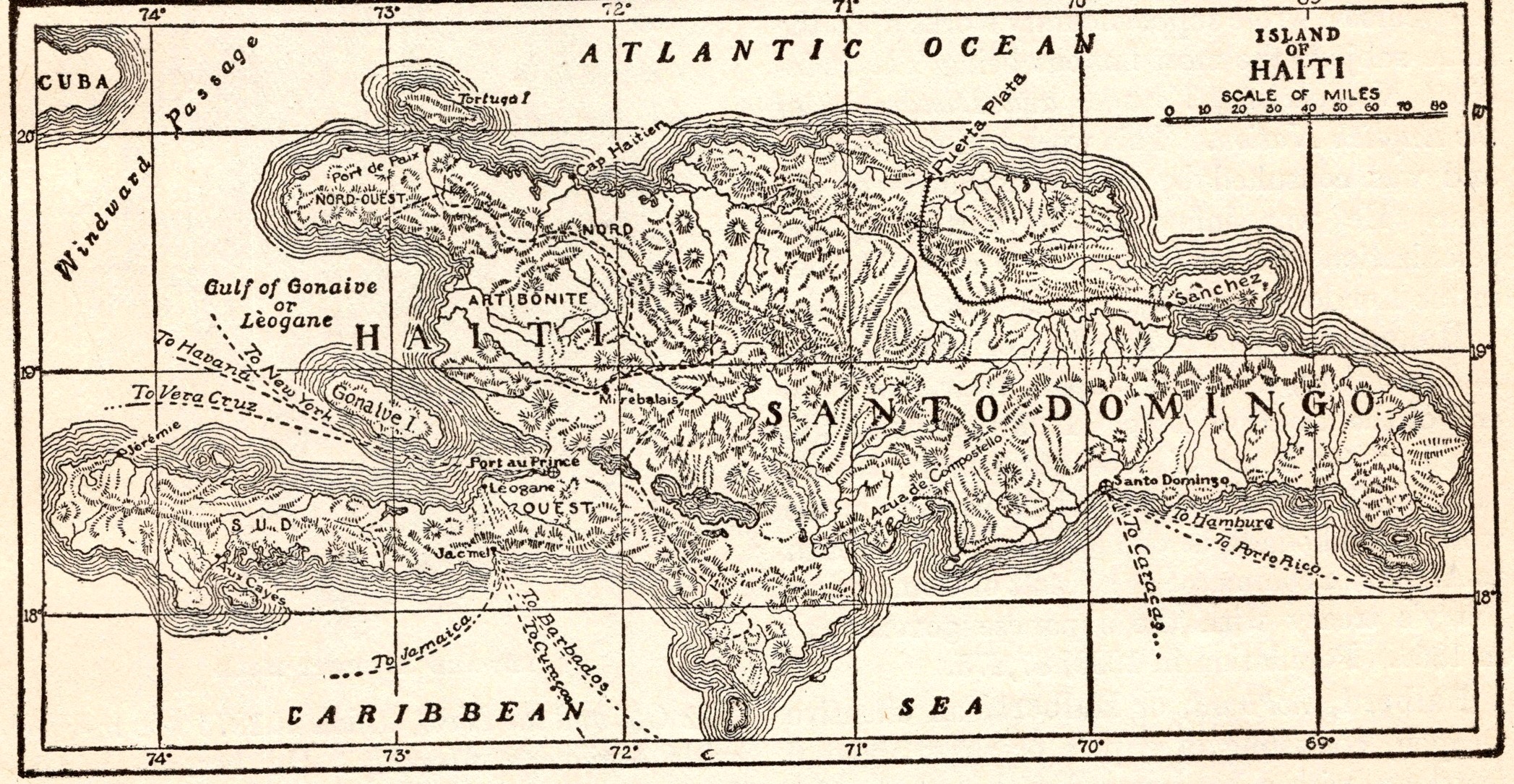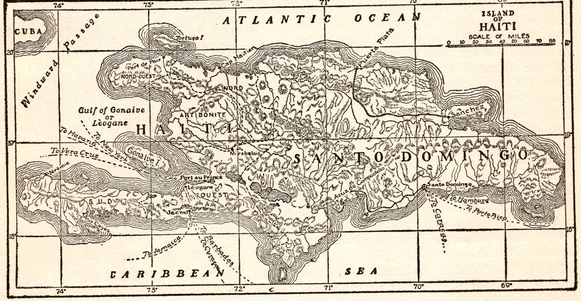
Map of the Island of Haiti
- Date
- 1918
- Publication
- The New Practical Reference Library, Vol. IV
- Imprint
- Charles H. Sylvester, editor in chief · Creecy-Smith Publishing Company, Kansas City and Dallas, 1918
- Black & White
Description
An uncaptioned map of the island of Haiti (Hispaniola) from the entry on Haiti, showing the Republic of Haiti in the west and Santo Domingo in the east, between the Atlantic Ocean and the Caribbean Sea. The text notes the island’s forests of mahogany, cedar and logwood.
Historical note
When this encyclopedia went to press, Haiti was under U.S. military occupation. President Wilson sent the Marines in July 1915 after the assassination of President Vilbrun Guillaume Sam, and a treaty gave the United States control of Haiti’s finances and its constabulary. The occupation, deeply resented in Haiti, lasted until 1934.
Sources
- U.S. Invasion and Occupation of Haiti, 1915–34, Office of the Historian, U.S. Department of State
- The U.S. Occupation of Haiti, 1915–1934 (CRS Report 94-459), Congressional Research Service
Cite this item
“Map of the Island of Haiti.” Illustration in The New Practical Reference Library, Vol. IV, Charles H. Sylvester, editor in chief · Creecy-Smith Publishing Company, Kansas City and Dallas, 1918. Antique Advertisements, no. P0442. https://antiqueadvertisements.com/from-the-pages/P0442-map-of-the-island-of-haiti-1918/
This item is in the public domain. You are free to use it for any purpose; a credit to Antique Advertisements is appreciated. Learn more about using these images.