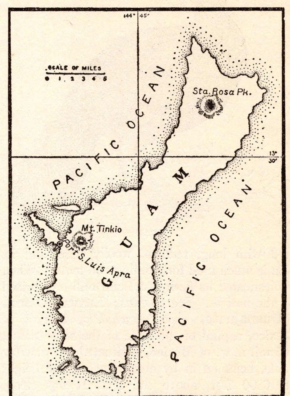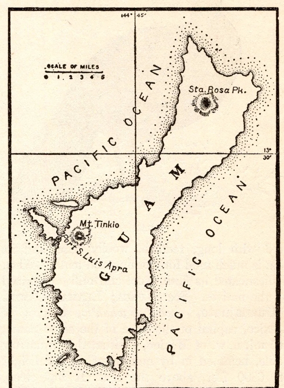
Map of Guam
- Date
- 1918
- Publication
- The New Practical Reference Library, Vol. IV
- Imprint
- Charles H. Sylvester, editor in chief · Creecy-Smith Publishing Company, Kansas City and Dallas, 1918
- Black & White
Description
An uncaptioned map of Guam from the entry on the island, which calls it the largest of the Ladrone Islands, 1500 miles east of Manila, discovered by Magellan in 1521. It marks Mount Tinkio, San Luis Apra and Santa Rosa peak, with a scale of miles.
Historical note
“Ladrones” (“thieves”) was the name Magellan’s crew gave the islands in 1521 after the Chamorro islanders took a small boat trailing one of his ships. Spanish Jesuits had renamed them the Marianas in the 1660s, after Queen Regent Mariana of Austria, but the old name stayed in English use into the early twentieth century. Guam became a United States possession in 1898; Spain sold the rest of the chain to Germany the following year.
Sources
- Northern Mariana Islands: History, Encyclopaedia Britannica
- Mariana Islands, Encyclopaedia Britannica
- Mariana Islands (place record), Museum of New Zealand Te Papa Tongarewa
Cite this item
“Map of Guam.” Illustration in The New Practical Reference Library, Vol. IV, Charles H. Sylvester, editor in chief · Creecy-Smith Publishing Company, Kansas City and Dallas, 1918. Antique Advertisements, no. P0428. https://antiqueadvertisements.com/from-the-pages/P0428-map-of-guam-1918/
This item is in the public domain. You are free to use it for any purpose; a credit to Antique Advertisements is appreciated. Learn more about using these images.