No. P03811883
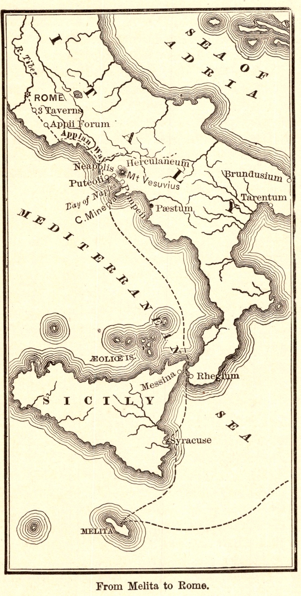
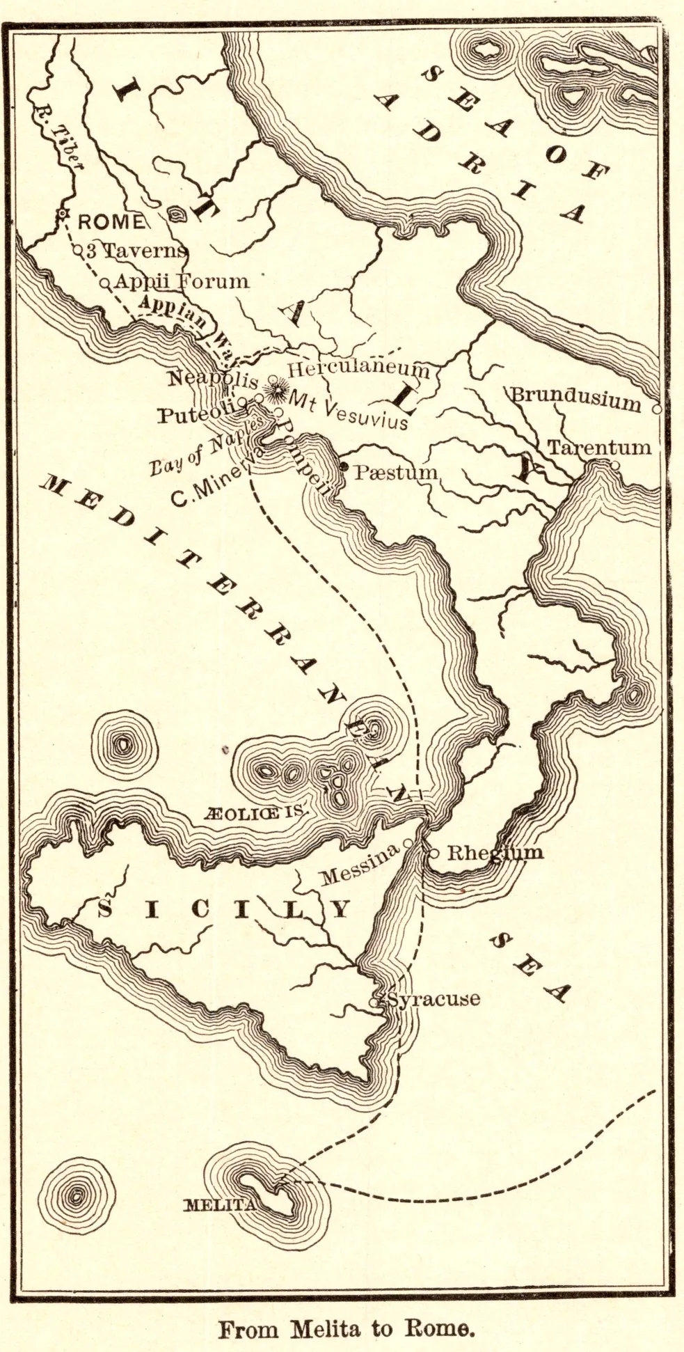
From Melita to Rome
- Date
- 1883
- Publication
- The Bible-Work: The New Testament, Vol. II
- Imprint
- Prepared by J. Glentworth Butler, D.D. · Funk & Wagnalls Company, New York and London, 1883
- Page
- 185
- Black & White
Description
A tall map tracing the last stage of Paul’s voyage from Melita (Malta) past Syracuse in Sicily, through the Strait of Messina to Rhegium and Puteoli, and overland along the Appian Way to Rome (Acts 28).
As printed
From Melita to Rome.
Cite this item
“From Melita to Rome.” Illustration in The Bible-Work: The New Testament, Vol. II, Prepared by J. Glentworth Butler, D.D. · Funk & Wagnalls Company, New York and London, 1883. Antique Advertisements, no. P0381. https://antiqueadvertisements.com/from-the-pages/P0381-from-melita-to-rome-1883/
This item is in the public domain. You are free to use it for any purpose; a credit to Antique Advertisements is appreciated. Learn more about using these images.