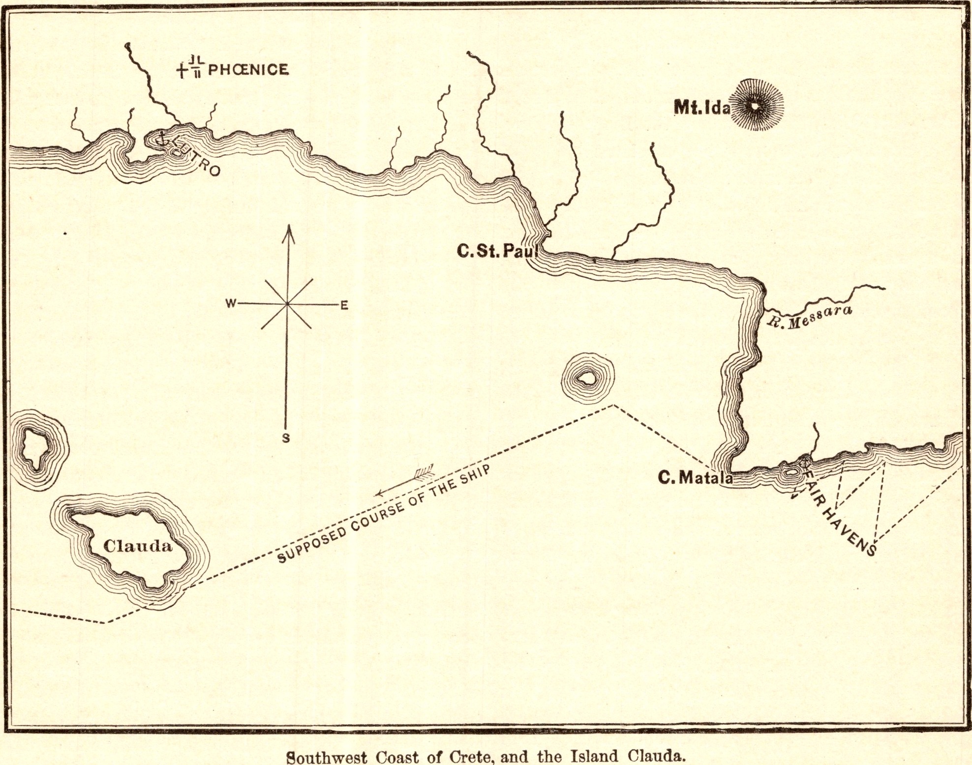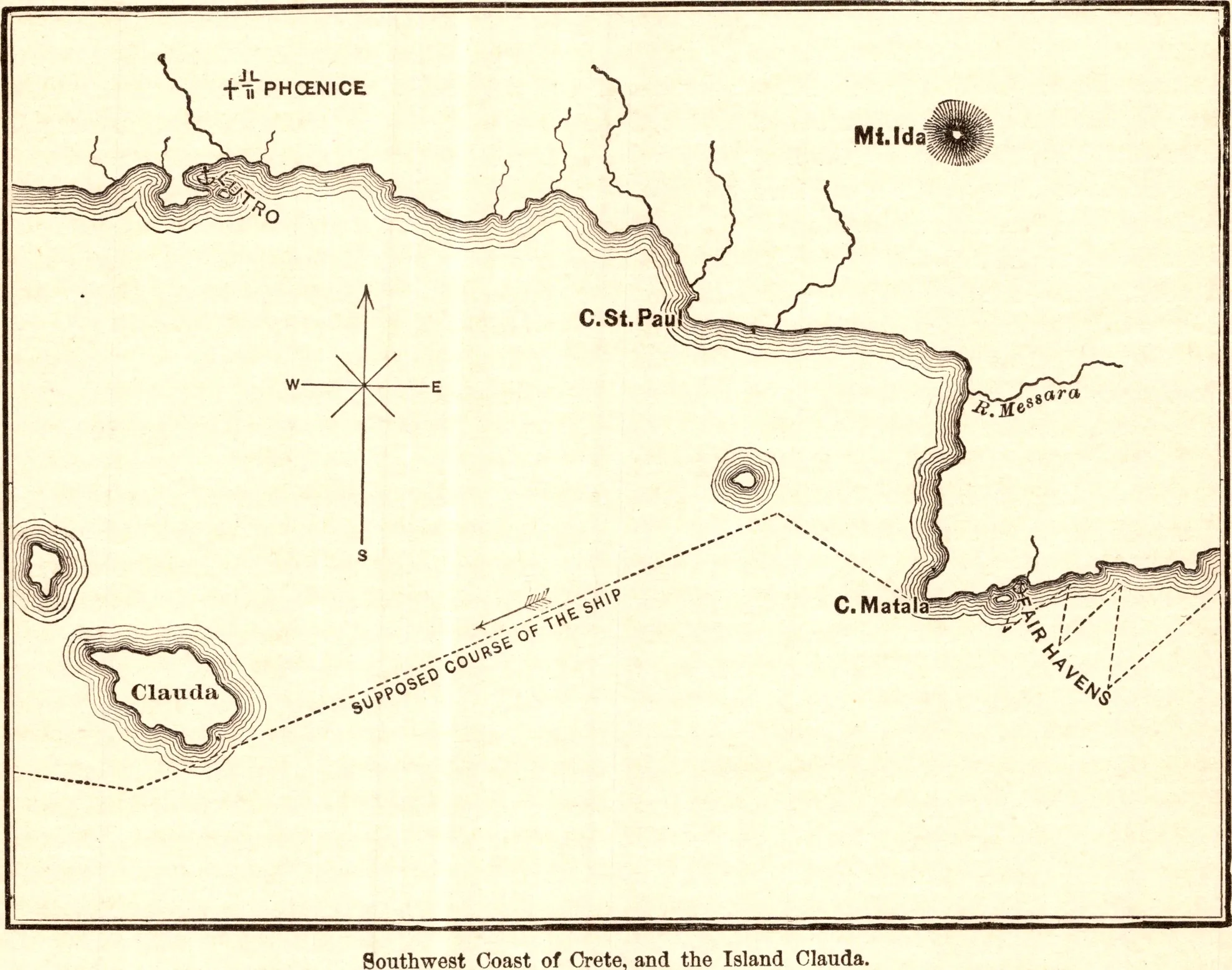
Southwest Coast of Crete, and the Island Clauda
- Date
- 1883
- Publication
- The Bible-Work: The New Testament, Vol. II
- Imprint
- Prepared by J. Glentworth Butler, D.D. · Funk & Wagnalls Company, New York and London, 1883
- Page
- 176
- Black & White
Description
A map of the southwest coast of Crete showing Phoenice, Mount Ida, Cape Matala, Fair Havens and the small island of Clauda, with the supposed course of Paul’s ship as it was driven before the storm in Acts 27.
As printed
Southwest Coast of Crete, and the Island Clauda.
Cite this item
“Southwest Coast of Crete, and the Island Clauda.” Illustration in The Bible-Work: The New Testament, Vol. II, Prepared by J. Glentworth Butler, D.D. · Funk & Wagnalls Company, New York and London, 1883. Antique Advertisements, no. P0378. https://antiqueadvertisements.com/from-the-pages/P0378-southwest-coast-of-crete-and-the-island-clauda-1883/
This item is in the public domain. You are free to use it for any purpose; a credit to Antique Advertisements is appreciated. Learn more about using these images.