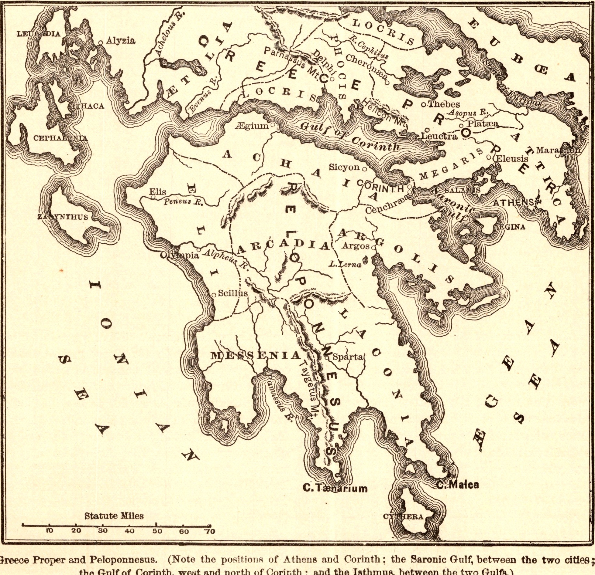
Greece Proper and Peloponnesus
- Date
- 1883
- Publication
- The Bible-Work: The New Testament, Vol. II
- Imprint
- Prepared by J. Glentworth Butler, D.D. · Funk & Wagnalls Company, New York and London, 1883
- Page
- 129
- Black & White
Description
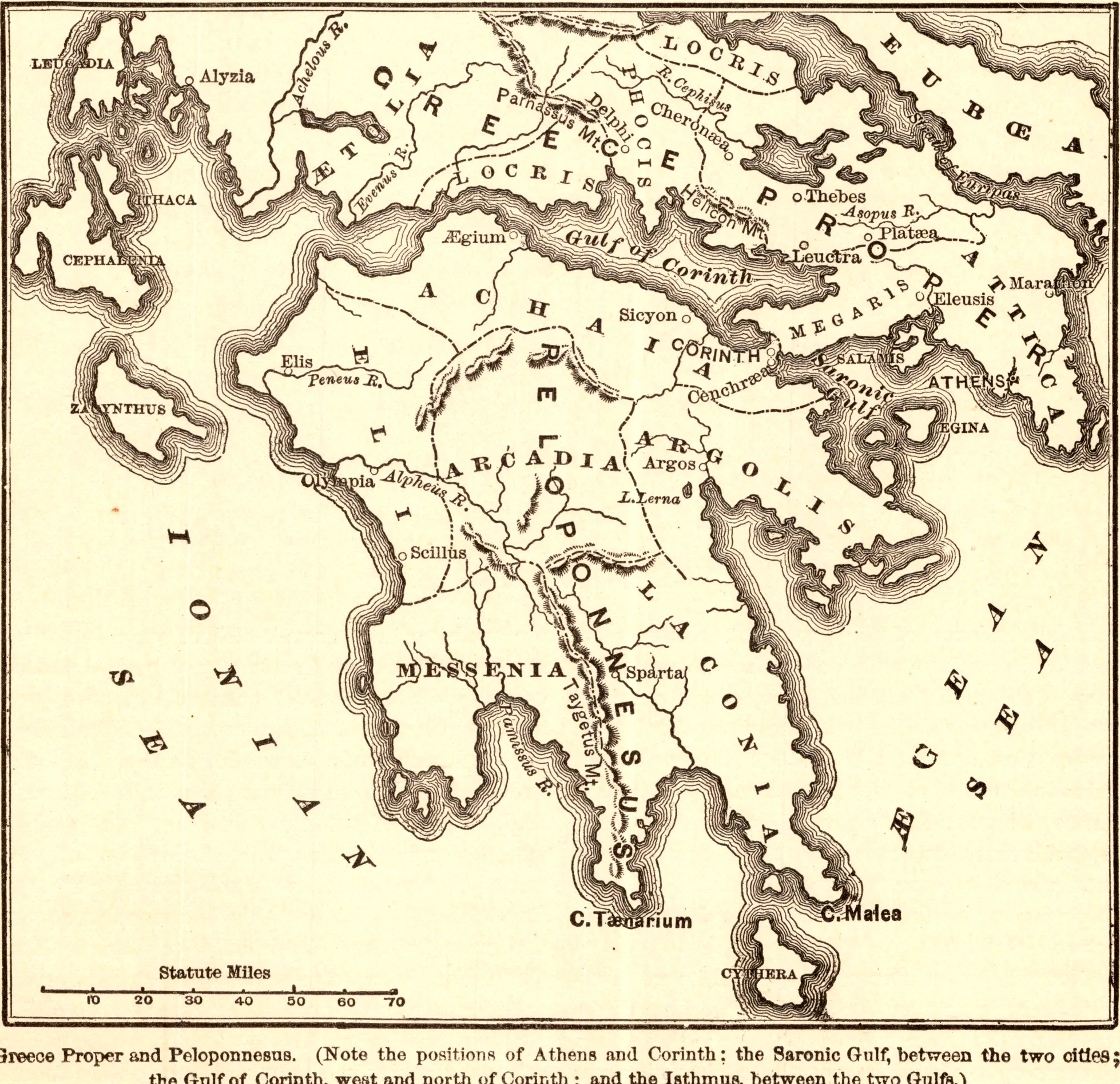
A map of central and southern Greece, with Attica, Boeotia, Achaia, Arcadia, Argolis, Messenia and Laconia, showing how Athens and Corinth face each other across the Saronic Gulf and how the narrow Isthmus of Corinth separates it from the Gulf of Corinth.
As printed
Greece Proper and Peloponnesus. (Note the positions of Athens and Corinth; the Saronic Gulf, between the two cities; the Gulf of Corinth, west and north of Corinth; and the Isthmus, between the two Gulfs.)
Cite this item
“Greece Proper and Peloponnesus.” Illustration in The Bible-Work: The New Testament, Vol. II, Prepared by J. Glentworth Butler, D.D. · Funk & Wagnalls Company, New York and London, 1883. Antique Advertisements, no. P0366. https://antiqueadvertisements.com/from-the-pages/P0366-greece-proper-and-peloponnesus-1883/
This item is in the public domain. You are free to use it for any purpose; a credit to Antique Advertisements is appreciated. Learn more about using these images.