No. P03501883
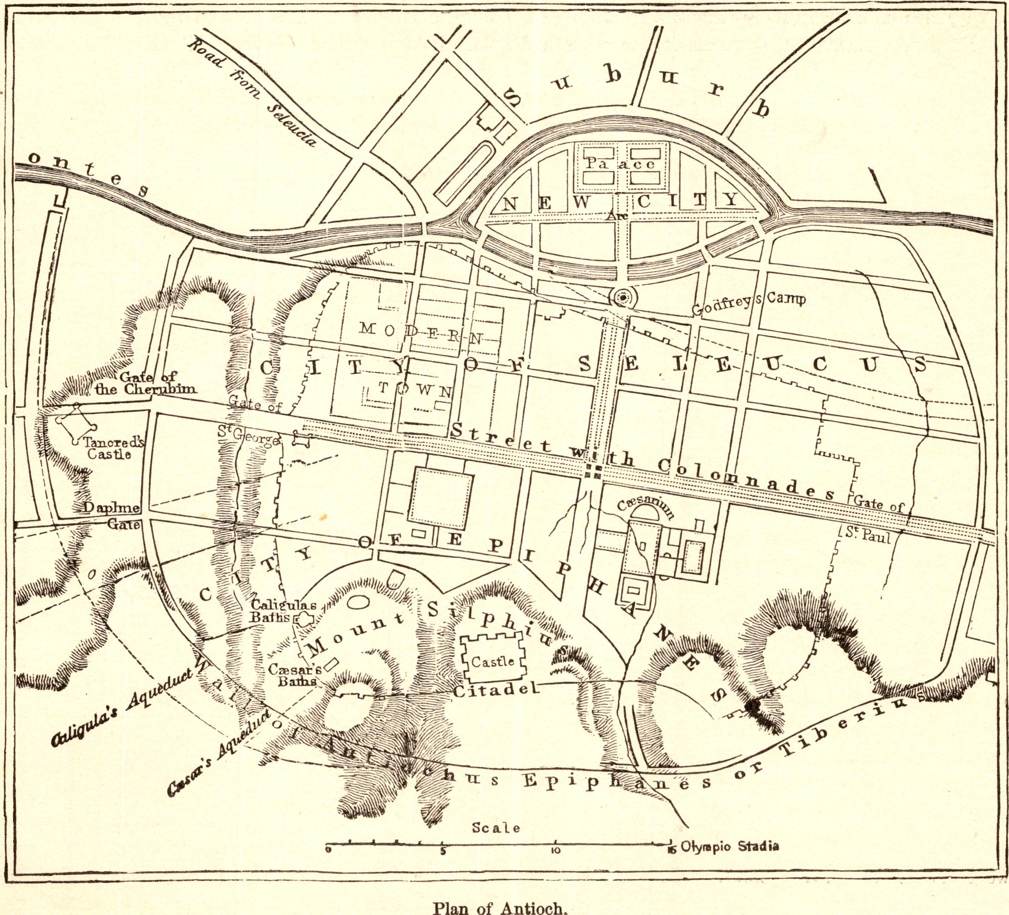
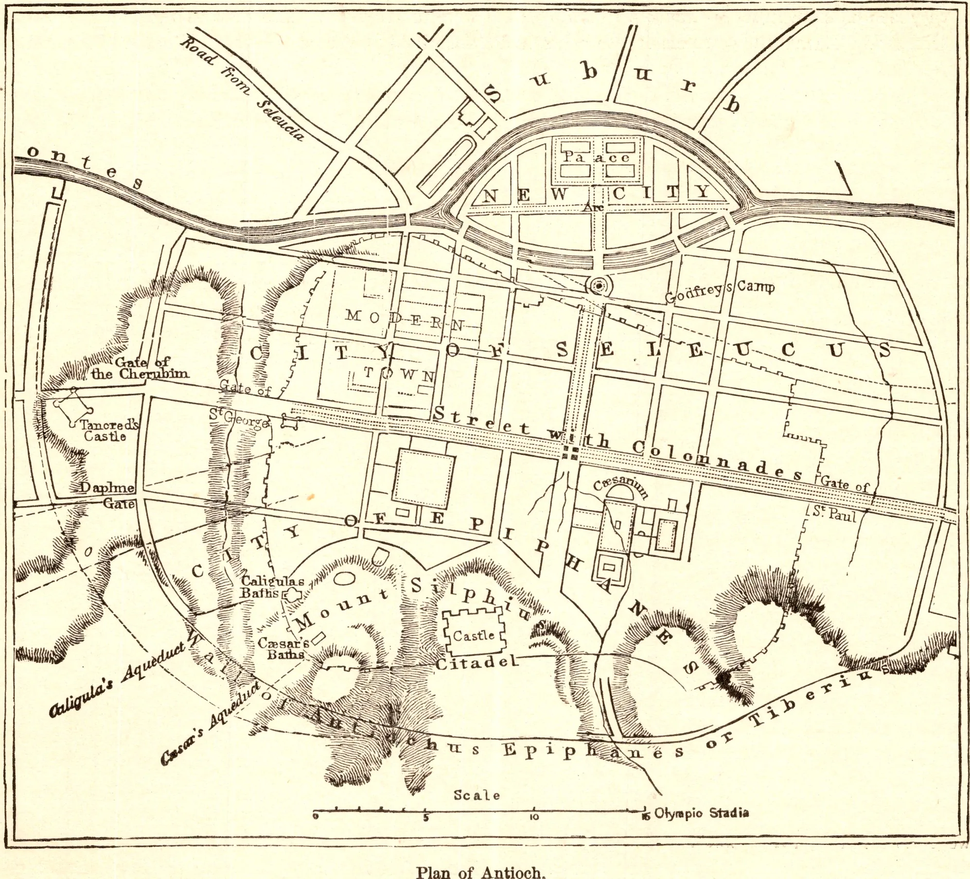
Plan of Antioch
- Date
- 1883
- Publication
- The Bible-Work: The New Testament, Vol. II
- Imprint
- Prepared by J. Glentworth Butler, D.D. · Funk & Wagnalls Company, New York and London, 1883
- Page
- 81
- Black & White
Description
A plan of ancient Antioch on the Orontes (modern Antakya, Turkey), the city where the followers of Jesus were first called Christians. It shows the walls climbing Mount Silpius, the long colonnaded street, the island and the New City, the citadel and the suburbs.
As printed
Plan of Antioch.
Cite this item
“Plan of Antioch.” Illustration in The Bible-Work: The New Testament, Vol. II, Prepared by J. Glentworth Butler, D.D. · Funk & Wagnalls Company, New York and London, 1883. Antique Advertisements, no. P0350. https://antiqueadvertisements.com/from-the-pages/P0350-plan-of-antioch-1883/
This item is in the public domain. You are free to use it for any purpose; a credit to Antique Advertisements is appreciated. Learn more about using these images.