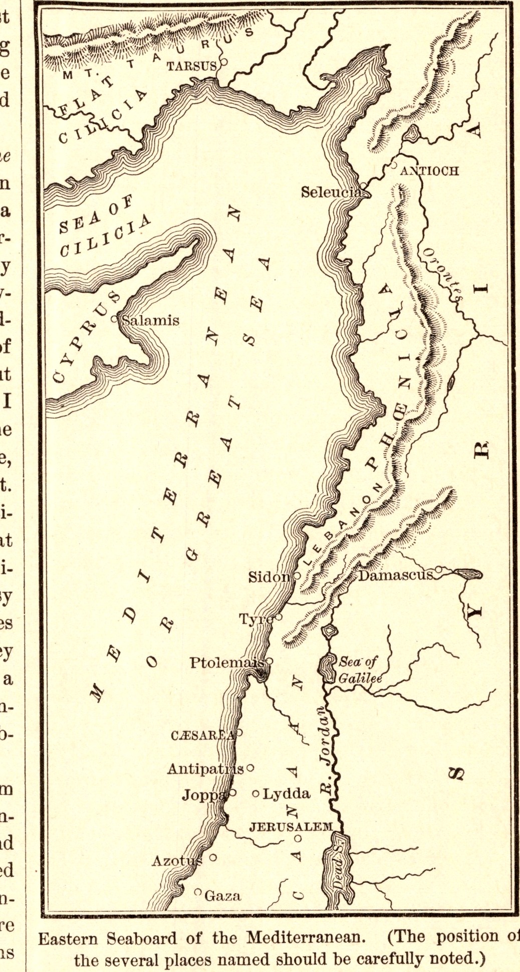
Eastern Seaboard of the Mediterranean
- Date
- 1883
- Publication
- The Bible-Work: The New Testament, Vol. II
- Imprint
- Prepared by J. Glentworth Butler, D.D. · Funk & Wagnalls Company, New York and London, 1883
- Page
- 61
- Black & White
Description
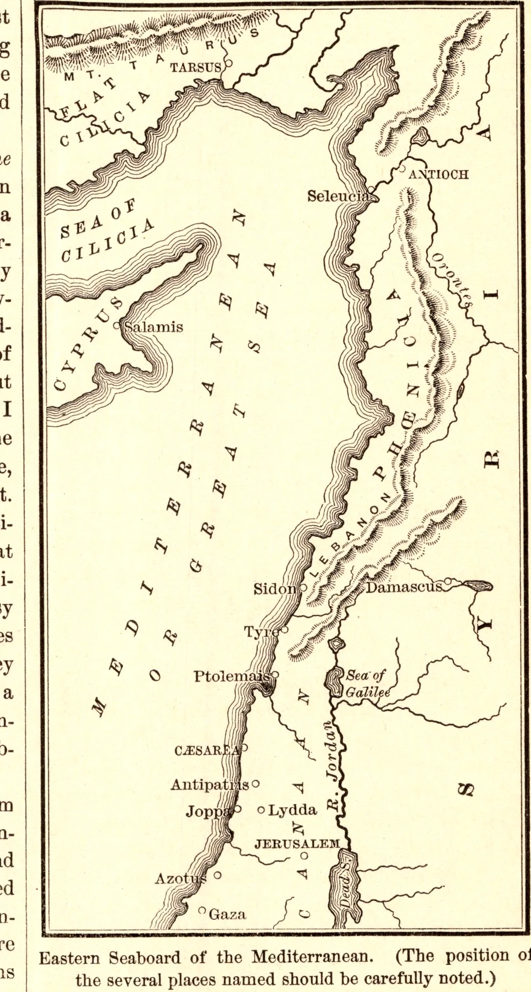
A tall, narrow map of the eastern Mediterranean coast from Cilicia and Antioch down through Syria and Palestine to Gaza, marking Tarsus, Damascus, Caesarea, Joppa, Lydda and Jerusalem. The caption tells readers to note carefully where the places named in the Acts of the Apostles lie.
As printed
Eastern Seaboard of the Mediterranean. (The position of the several places named should be carefully noted.)
Cite this item
“Eastern Seaboard of the Mediterranean.” Illustration in The Bible-Work: The New Testament, Vol. II, Prepared by J. Glentworth Butler, D.D. · Funk & Wagnalls Company, New York and London, 1883. Antique Advertisements, no. P0344. https://antiqueadvertisements.com/from-the-pages/P0344-eastern-seaboard-of-the-mediterranean-1883/
This item is in the public domain. You are free to use it for any purpose; a credit to Antique Advertisements is appreciated. Learn more about using these images.