No. P01531873
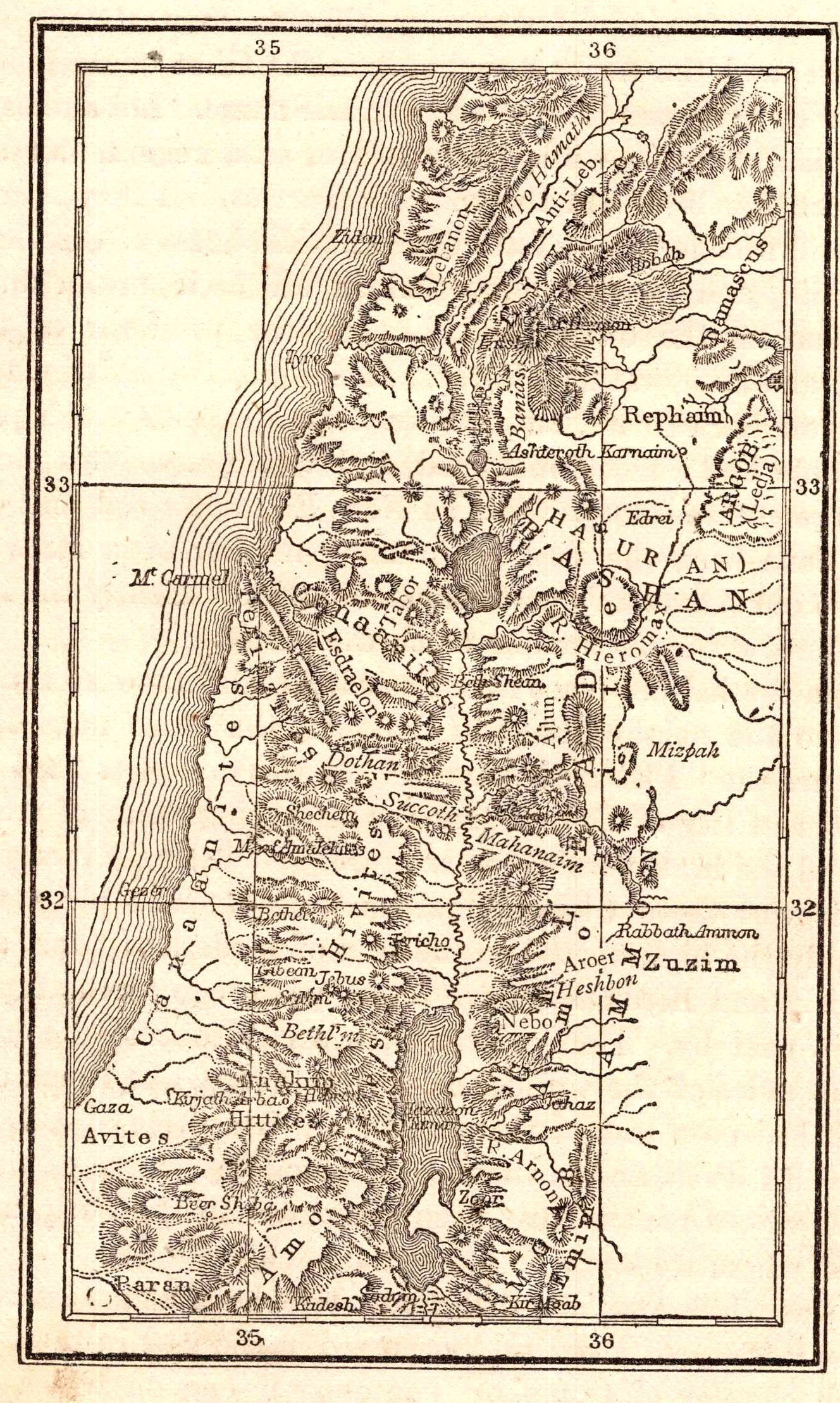
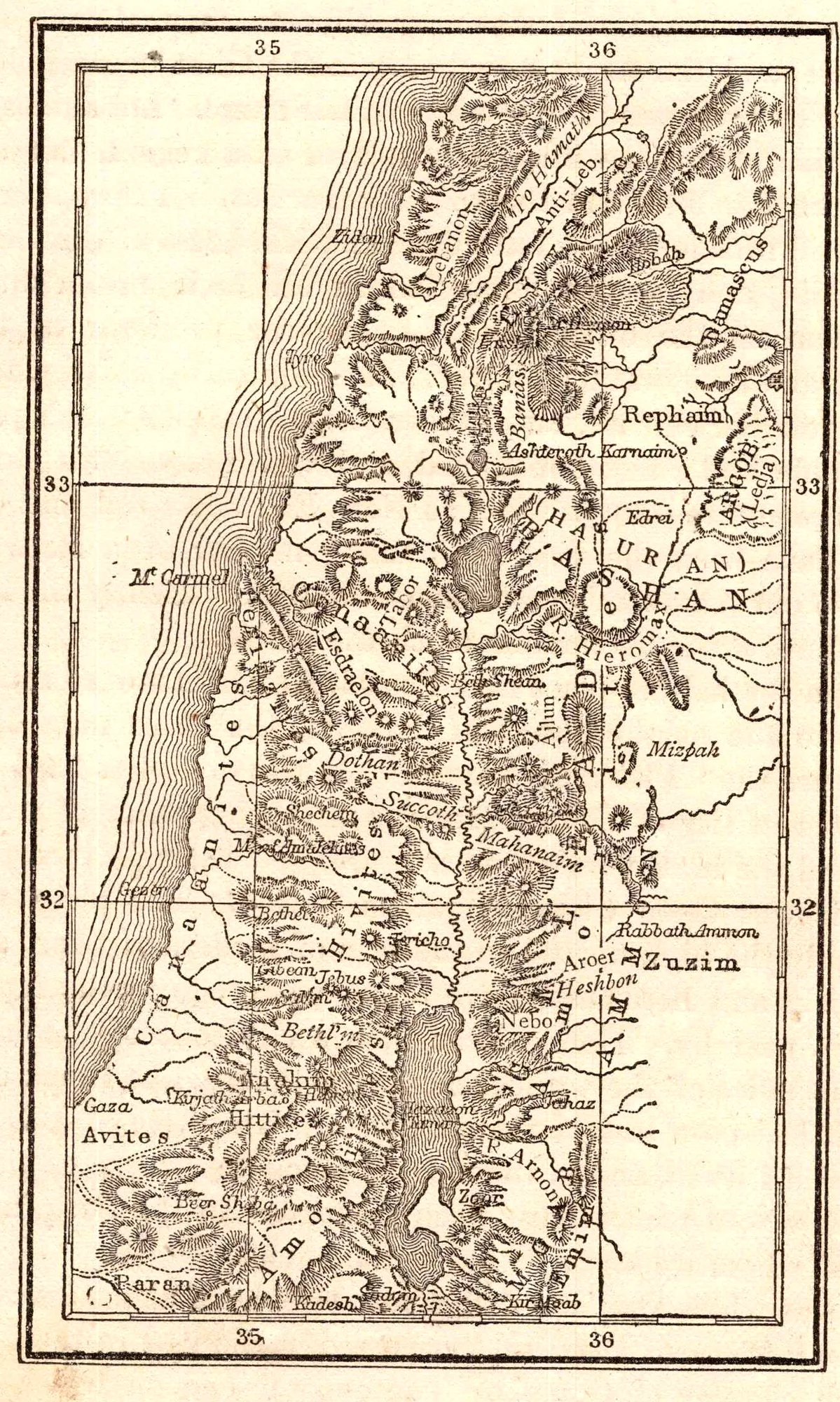
Map of Palestine
- Date
- 1873
- Publication
- The Home of God’s People
- Imprint
- By Rev. William L. Gage · Dustin, Gilman & Co., Hartford, Conn., 1873
- Black & White
Description
A tall engraved map of Palestine and the lands south toward Kadesh, marked with place names and degrees of longitude.
Cite this item
“Map of Palestine.” Illustration in The Home of God’s People, By Rev. William L. Gage · Dustin, Gilman & Co., Hartford, Conn., 1873. Antique Advertisements, no. P0153. https://antiqueadvertisements.com/from-the-pages/P0153-map-of-palestine-1873/
This item is in the public domain. You are free to use it for any purpose; a credit to Antique Advertisements is appreciated. Learn more about using these images.